 En
En Cs
Cs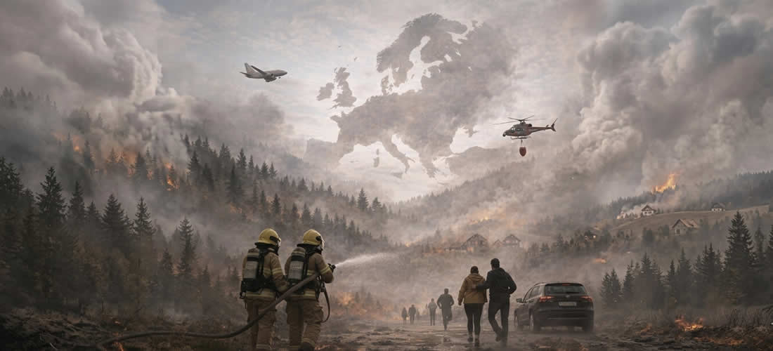
The 2025 fire season started early, with over 100,000 hectares burnt by the end of March. Intensity peaked in August when a prolonged heatwave triggered 22 very large fires in Portugal and Spain, burning 460,585 hectares — 43% of the EU’s total of burnt land. The season reflects a clear trend: earlier starts, more frequent heatwaves, and fires reaching higher latitudes than historically observed. The report is available at this link.
In total, 7,783 fires across 25 of 27 EU Member States resulted in 1,079,538 burnt hectares — the highest ever recorded by EFFIS since 2006, nearly double the 2006–2024 average. Germany, Spain, Cyprus and Slovakia hit all-time records, while 39% of the burnt area fell within Natura 2000 protected sites. Beyond EU borders, Ukraine was the most impacted country, accounting for almost 30% of the total mapped burnt area.
In response, the Commission adopted on 25 March 2026 a new integrated approach to wildfire risk management, covering prevention, preparedness, response and recovery. Within this framework, the Commission will further improve EFFIS’ early warning and fire mapping tools, integrating data from European and international satellites to provide near real-time information to EU countries and citizens.
EFFIS, a component of the Copernicus Emergency Management Service run by the JRC, has been providing reliable, timely and standardised wildfire data across Europe since 2000. It is supported by the Expert Group on Forest Fires, a network of 43 countries exchanging harmonised information and good practices on fire prevention, firefighting and restoration.